Drone Mapping for AI Training Data
High-resolution drone imagery collected across 12,000+ acres of agricultural land in India, primarily to generate training data for AI models doing crop type mapping and field boundary segmentation.
Why this project
Satellite imagery is too coarse to reliably distinguish crop types or delineate small field boundaries — a critical gap for any AI model trained on Indian smallholder agriculture. The only way to build that ground truth is to go collect it. I conceived the project with this data need in mind, secured the funding, and ran the ground operations end to end.
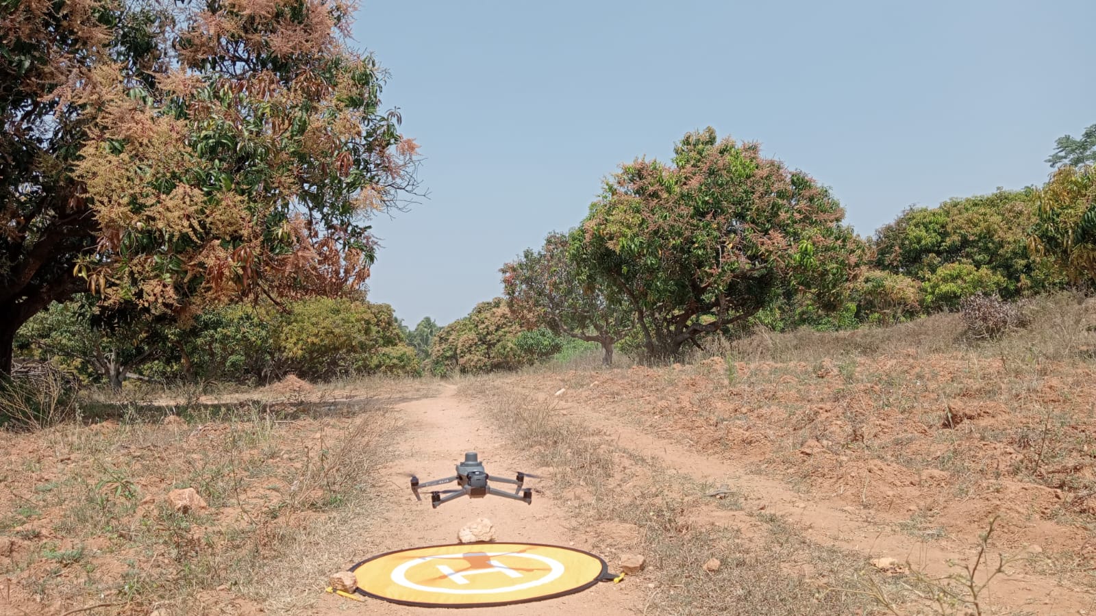
What we did
Over six months, a small team of drone pilots, contracted by my team at WELL Labs, flew missions across Odisha, Rajasthan, Kerala, Pune, and other sites — covering diverse agro-climatic zones to ensure the training dataset generalised well. Flight protocols were designed for each use case: RGB orthomosaics, multispectral captures, and terrain-following missions for hilly terrain.
Beyond the AI data collection, the imagery also served NGO partners: tracking survival of trees under SBI Foundation’s Aranya project, monitoring soil erosion and forest restoration, and mapping grazing lands and irrigation coverage.
Output
- 12,000+ acres mapped across India
- Labelled imagery dataset for crop type classification and field segmentation
- Standardised data pipeline, SOPs, and quality review process across 100+ flights